Trek Zone

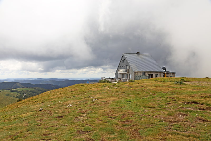
Refuge du Sotré, Xonrupt-Longemer

#2 among attractions in Xonrupt-Longemer

Hiking, Alpine hut
Refuge du Sotré

Facts and practical information

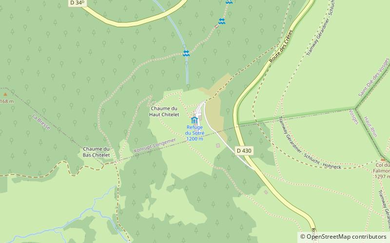
Refuge du Sotré (address: Chaume du Haut Chitelet, Route des Crêtes) is a place located in Xonrupt-Longemer (Grand Est region) and belongs to the category of hiking, alpine hut.

It is situated at an altitude of 3924 feet, and its geographical coordinates are 48°2'33"N latitude and 7°0'9"E longitude.

Among other places and attractions worth visiting in the area are: Hohneck, La Bresse (nature, 19 min walk), Jardin d'altitude du Haut Chitelet (garden, 19 min walk), Lac de la Lande (nature, 32 min walk).

Coordinates: 48°2'33"N, 7°0'9"E
Address

Chaume du Haut Chitelet, Route des CrêtesXonrupt-Longemer France

Contact
Social media
Add

Xonrupt-Longemer plan & book

Unleash the traveler in you — discover the cheapest flight deals, find the perfect hotel or hostel nearby, and search for the best car rental prices. Travel at your own pace to discover new places and enjoy your journey.

Day trips

Refuge du Sotré – popular in the area (distance from the attraction)

Nearby attractions include: Hohneck, Lac de Retournemer, Schiessrothried, Jardin d'altitude du Haut Chitelet.

  • hohneck la bresse0.7 miSE
  • lac de retournemer1.4 miNW
  • schiessrothried1.3 miSE
  • jardin daltitude du haut chitelet xonrupt longemer0.7 miNE
  • kastelberg1.2 miS
  • lac de la lande1.2 miSW
  • col de la schlucht1.4 miNE

Frequently Asked Questions (FAQ)

Which popular attractions are close to Refuge du Sotré?

Nearby attractions include Hohneck, La Bresse (19 min walk), Jardin d'altitude du Haut Chitelet, Xonrupt-Longemer (19 min walk).

Where to next? Visit grand est Grand Est region page or discover the top tourist attractions in France.