Montrouge Cemetery, Paris
Map

Gallery
Facts and practical information
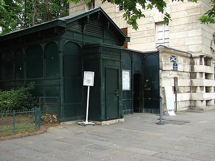
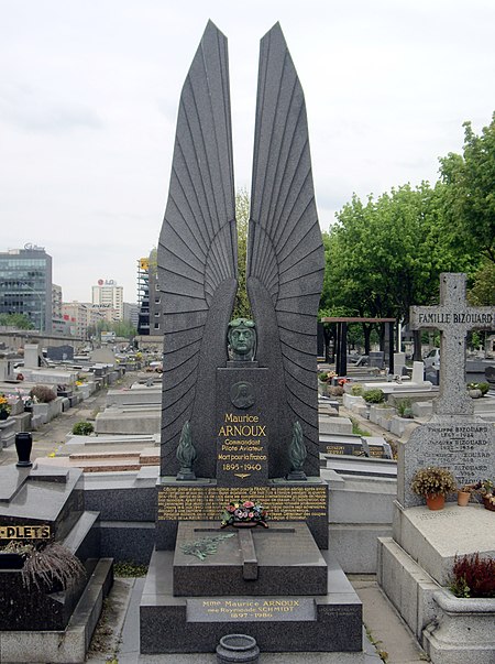
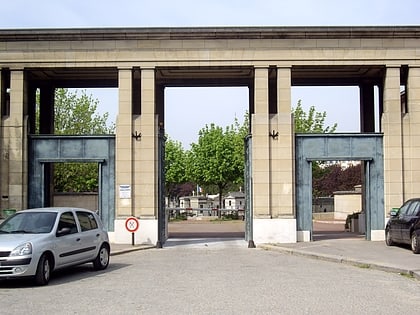
Montrouge Cemetery is a cemetery in the south of the 14th arrondissement of Paris, located between the Boulevards of the Marshals and Boulevard Périphérique. It was created in 1819 in the commune of Montrouge, but was transferred to the City of Paris in 1925 following a border change. ()
Address
Avenue de la Porte de MontrougeObservatoire (Petit-Montrouge)Paris
ContactAdd
Social media
Add
Day trips
Montrouge Cemetery – popular in the area (distance from the attraction)
Nearby attractions include: Stade Charléty, Catacombs of Paris, Parc Montsouris, Paris Observatory.
Frequently Asked Questions (FAQ)
Which popular attractions are close to Montrouge Cemetery?
Nearby attractions include Petit-Montrouge, Paris (14 min walk), Saint-Pierre de Montrouge, Paris (15 min walk), Montrouge, Paris (15 min walk), Musée Adzak, Paris (15 min walk).
How to get to Montrouge Cemetery by public transport?
The nearest stations to Montrouge Cemetery:
Bus
Tram
Metro
Train
Bus
- Jean Moulin • Lines: 194, 388, N66, Service Caméléon Tram T3a (4 min walk)
- Cimetière de Montrouge • Lines: 126, 128, 68, Montbus (4 min walk)
Tram
- Jean Moulin • Lines: T3a (4 min walk)
- Porte d'Orléans • Lines: T3a (8 min walk)
Metro
- Mairie de Montrouge • Lines: 4 (8 min walk)
- Porte d'Orléans • Lines: 4 (8 min walk)
Train
- Cité Universitaire (23 min walk)
- Denfert-Rochereau (25 min walk)
 Metro
Metro