Tour de Diana

Gallery (1)
Map
Map
Facts and practical information
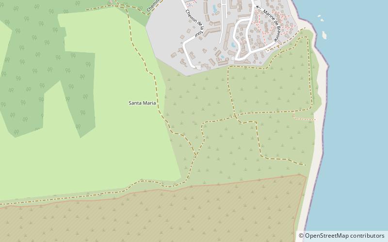
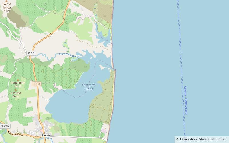
The Tour de Diana is a ruined Genoese tower located in the commune of Aléria on east coast of the French island of Corsica. It sits on a spit of land that forms the southern entrance to the Étang de Diane. ()
Built: 1582 (444 years ago)Coordinates: 42°8'31"N, 9°33'21"E
Location
Corsica
ContactAdd
Social media
Add
Day trips