Communauté urbaine de Dunkerque, Dunkirk
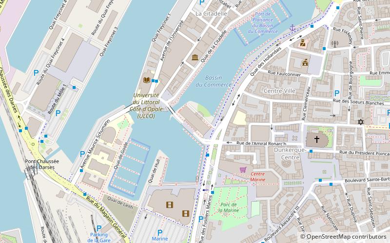
Map
Facts and practical information
The Communauté urbaine de Dunkerque is the communauté urbaine, an intercommunal structure, centred on the city of Dunkirk. It is located in the Nord department, in the Hauts-de-France region, northern France. It was created in October 1968. Its area is 299.9 km2. Its population was 195,917 in 2018, of which 86,865 in Dunkirk proper. ()
Day trips
Communauté urbaine de Dunkerque – popular in the area (distance from the attraction)
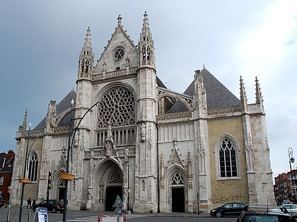
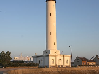
Nearby attractions include: Church of Saint-Éloi, Dunkirk lighthouse, Port Museum, Coudekerque-Branche.
Frequently Asked Questions (FAQ)
Which popular attractions are close to Communauté urbaine de Dunkerque?
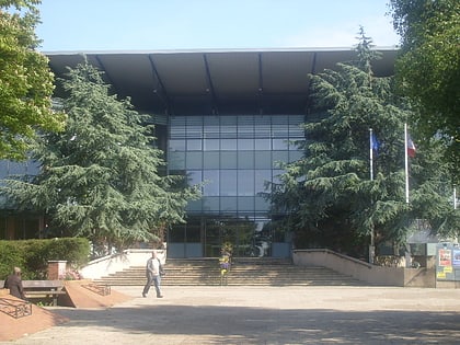
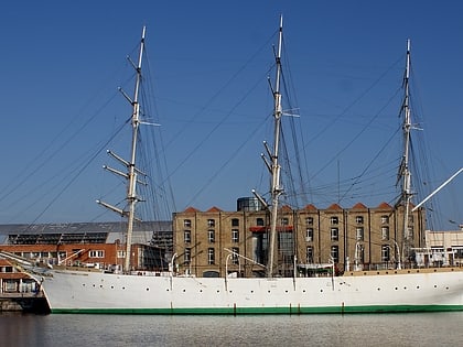
Nearby attractions include La Duchesse Anne, Dunkirk (3 min walk), Port Museum, Dunkirk (4 min walk), Hôtel de Ville de Dunkerque, Dunkirk (6 min walk), Church of Saint-Éloi, Dunkirk (7 min walk).
How to get to Communauté urbaine de Dunkerque by public transport?
The nearest stations to Communauté urbaine de Dunkerque:
Bus
Train
Bus
- Parc Marine • Lines: C2, C4 (3 min walk)
- Université • Lines: 16, N2 (3 min walk)
Train
- Dunkirk (11 min walk)
