Château de Saint-Léger

Gallery (1)
Map

Map
Facts and practical information
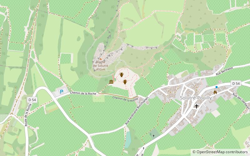
The castle of Saint-Léger is located in the commune of Charnay-lès-Mâcon in Saône-et-Loire, at the eastern end of a rocky and partly wooded eminence overlooking the valley of the Petite Grosne.
Coordinates: 46°17'42"N, 4°45'57"E
Location
Bourgogne-Franche-Comté
ContactAdd
Social media
Add
Day trips