Livradois-Forez Regional Natural Park

Gallery (2)
Map
Map
Gallery
Facts and practical information
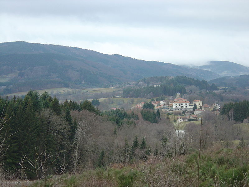
Livradois-Forez Regional Natural Park is a regional natural park located on three French department : Puy-de-Dôme, Haute-Loire and Loire. The two biggest urban areas are Thiers and Ambert. Courpière, Billom and Vic-le-Comte have a secondary place in the territory. ()
Day trips