Château de Jean

Map
Facts and practical information
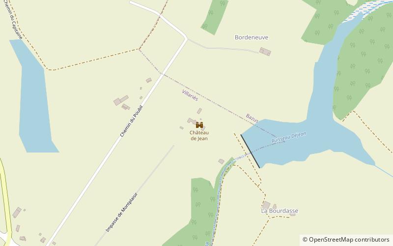
The Château de Jean is a French château built on the site of an older castle in the commune of Villariès in the Haute-Garonne département of France. ()
Coordinates: 43°44'35"N, 1°30'5"E
Location
Occitanie
ContactAdd
Social media
Add
Day trips
Château de Jean – popular in the area (distance from the attraction)
Nearby attractions include: Saint-Jean, Launaguet, Fenouillet, Solo Escalade.


