Trek Zone

Rébenty Aqueduct

#2330 among destinations in France

Aqueduct
Rébenty Aqueduct location map
Map

Facts and practical information
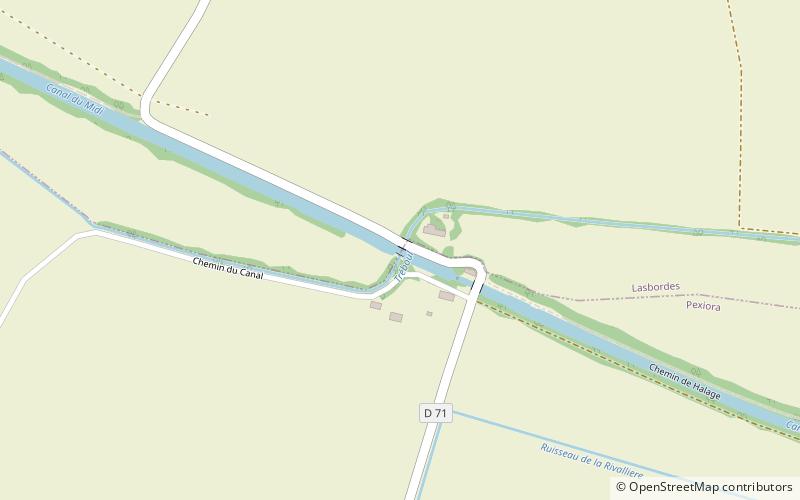
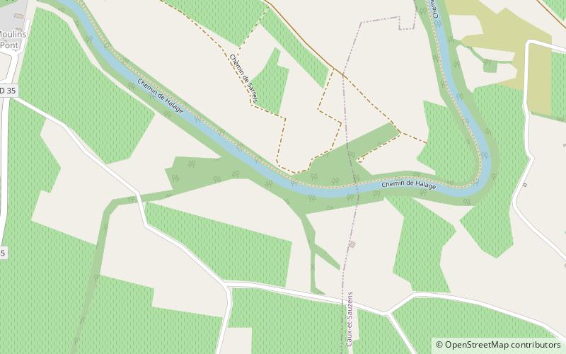
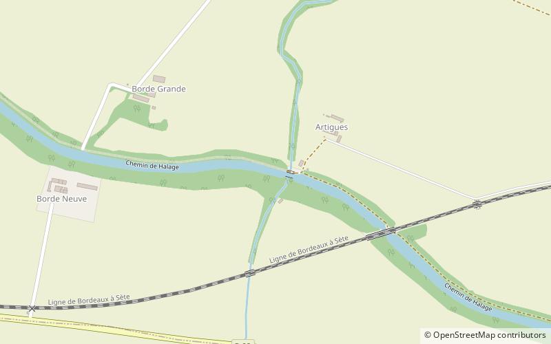
Local name: Pont-canal de Rébenty Coordinates: 43°14'39"N, 2°9'21"E
Location

OccitanieFrance

ContactAdd
Social media
Add
Day trips

Rébenty Aqueduct – popular in the area (distance from the attraction)

Nearby attractions include: Villeneuve-lès-Montréal, Château d'Arzens, Eburomagus, Saint-Martin-le-Vieil.

  • villeneuve les montreal5 miSW
  • chateau darzens4.1 miSE
  • eburomagus bram2 miW
  • saint martin le vieil raissac sur lampy2.7 miN
  • treboul aqueduct location map
    6 miNW
  • espitalet aqueduct location map
    2.6 miE
  • epanchoir de villeseque location map
    4.5 miE
  • sauzens aqueduct location map
    4.8 miE
  • st andrews church montolieu5.5 miNE
  • elfaix aqueduct location map
    4.3 miE
  • eglise saint genes arzens4.1 miSE

Where to next? Visit occitanie Occitanie region page or discover the top tourist attractions in France.