Château de Terrans

Gallery (1)
Map
Map
Facts and practical information
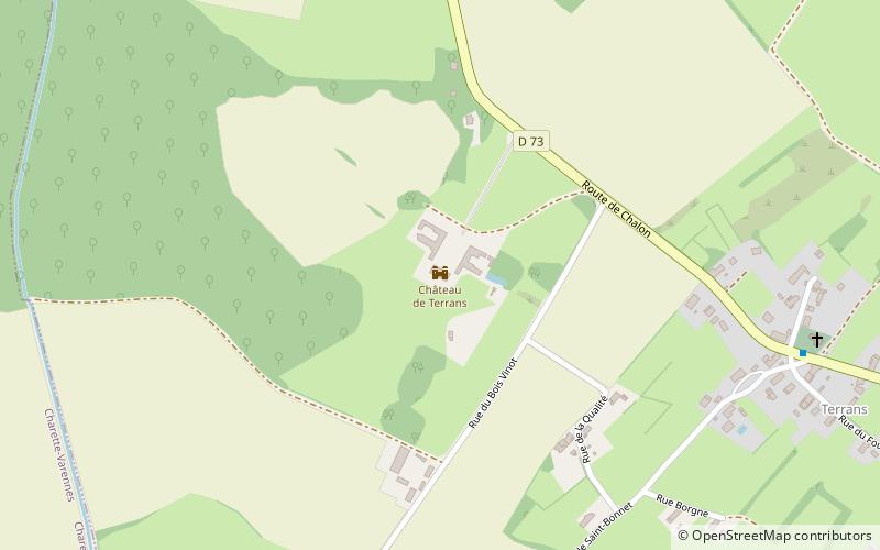
The castle of Terrans is located on the former commune of the village of Terrans merged with Pierre-de-Bresse in 1973, in Saône-et-Loire. It is located slightly away from the old village at about 500 meters, in the direction of Charette-Varennes west exit, on the edge of the departmental road 73.
The castle and its outbuildings have been classified as a historical monument, the moat, the chapel and the janitor's lodge have been registered on June 24th 1977.
The castle is privately owned and cannot be visited.
Coordinates: 46°53'9"N, 5°12'57"E
Location
Bourgogne-Franche-Comté
ContactAdd
Social media
Add
Day trips


