Château de la Souche
Map
![Château de la Souche location map](https://tzmedia.b-cdn.net/media/images/static-maps/fr/46_3425_2_82557.jpg)
Map
![Château de la Souche location map](https://tzmedia.b-cdn.net/media/images/static-maps/fr/46_3425_2_82557.jpg)
Facts and practical information
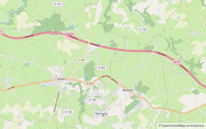
The château de la Souche is an ancient fortified tower from the 15th century, which stands in the commune of Doyet.
Coordinates: 46°20'33"N, 2°49'32"E
Location
Auvergne-Rhône-Alpes
ContactAdd
Social media
Add
Day trips
Château de la Souche – popular in the area (distance from the attraction)
Nearby attractions include: St. Nicholas Church, Church of St. James the Major, Commentry.