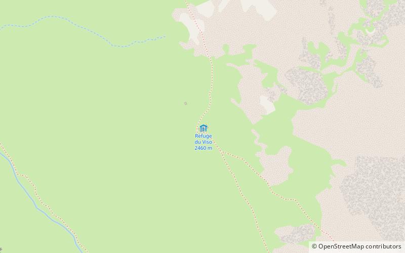
Refuge Viso

Gallery (1)
Map
Map
Facts and practical information
Refuge Viso is a place located in France and belongs to the category of hiking, alpine hut.
It is situated at an altitude of 8061 feet, and its geographical coordinates are 44°42'2"N latitude and 7°3'5"E longitude.
Among other places and attractions worth visiting in the area are: Refuge de la BlancheSaint-Véran (hiking, 152 min walk), Ristolas (locality, 154 min walk).
Coordinates: 44°42'2"N, 7°3'5"E
Day trips

