Château de Pont-Remy

Gallery (1)
Map
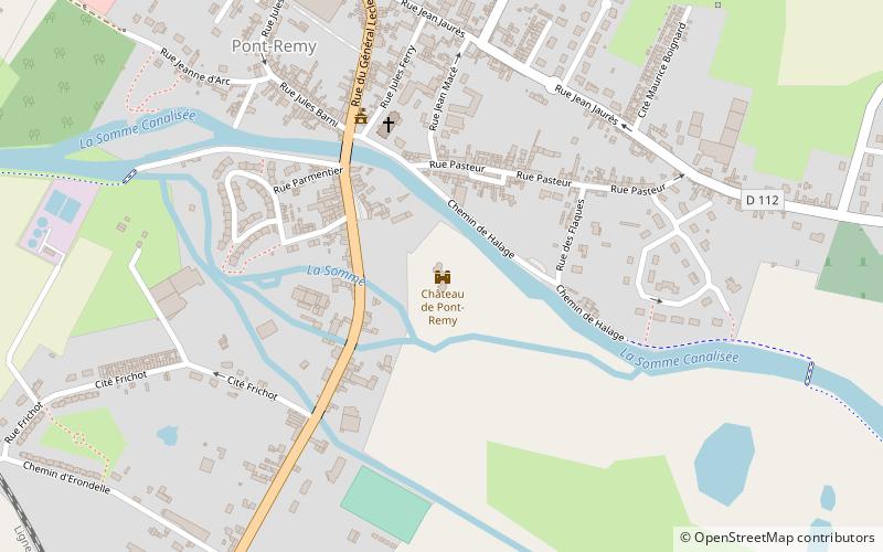
Map
Facts and practical information
The castle of Pont-Rémy is a former 15th century fortified castle, transformed in the 19th century into a private residence. It is now reduced to a ruin.
Coordinates: 50°3'10"N, 1°54'18"E
Location
Hauts-de-France
ContactAdd
Social media
Add
Day trips


