Château de Fléchères
Map
Gallery
Facts and practical information
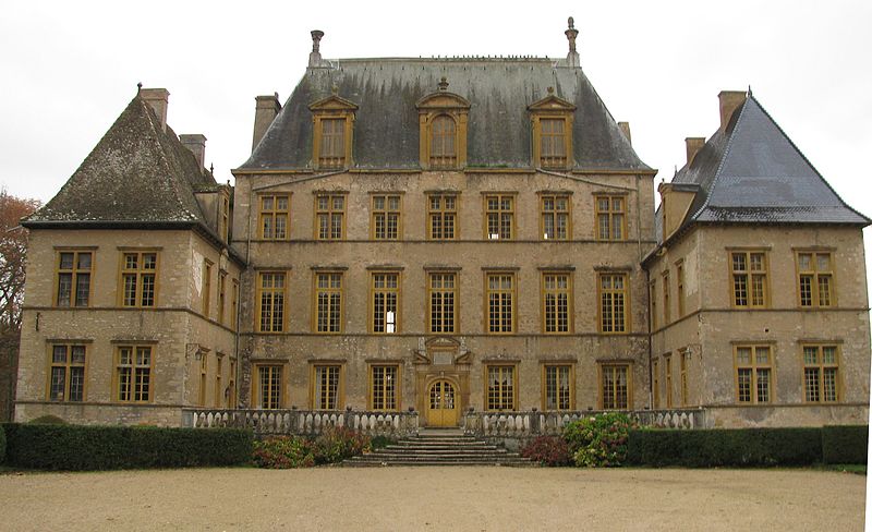
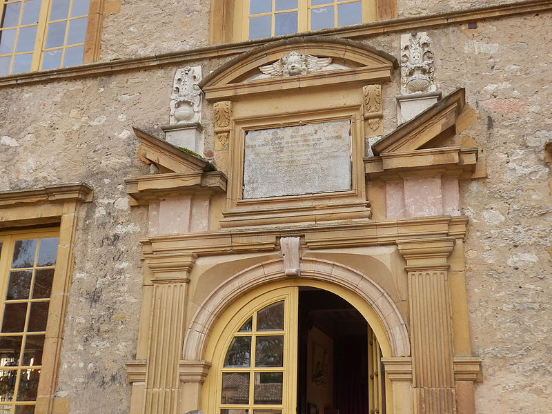
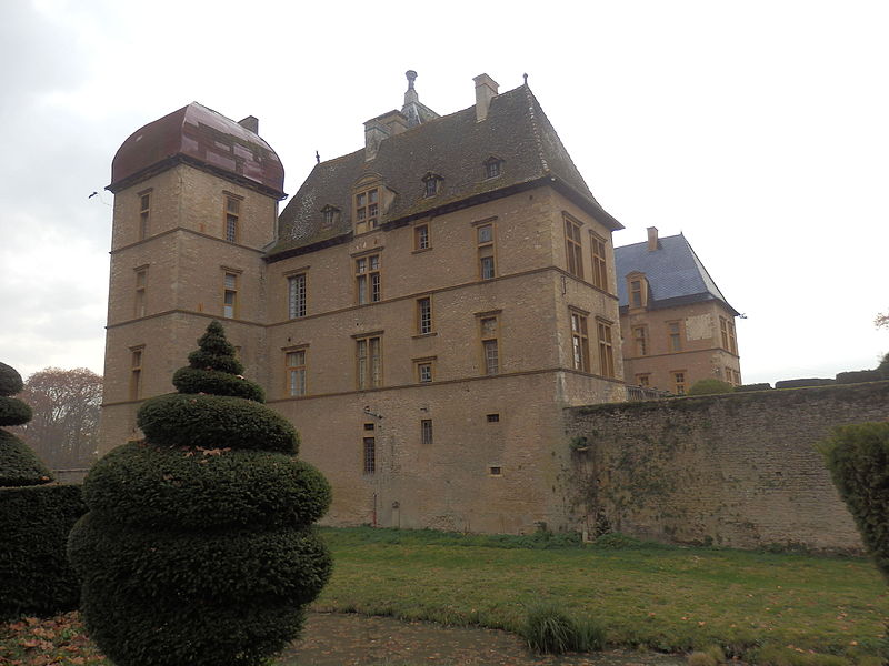
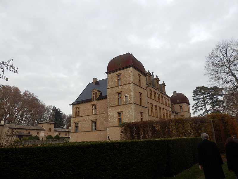
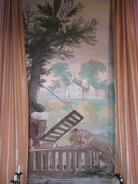
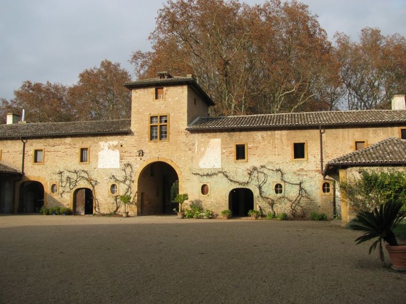
The castle of Fléchères is a 17th century castle, center of the seigniory and then of the barony of Fléchères, which stands in the Dombes on the commune of Fareins in the department of Ain and the region Auvergne-Rhône-Alpes, 6 kilometers northeast of Villefranche-sur-Saône. It is the successor of an old fortified house from the 12th century.
The castle was classified as a historical monument by decree of July 11, 1985. The farm and the park are registered as historical monuments by order of August 28, 2001.
Coordinates: 46°1'52"N, 4°45'30"E
Location
Auvergne-Rhône-Alpes
ContactAdd
Social media
Add
Day trips
Château de Fléchères – popular in the area (distance from the attraction)
Nearby attractions include: Château de Vaurenard, Misérieux, Maison du Saint-Curé-d'Ars, Saint-Julien.


