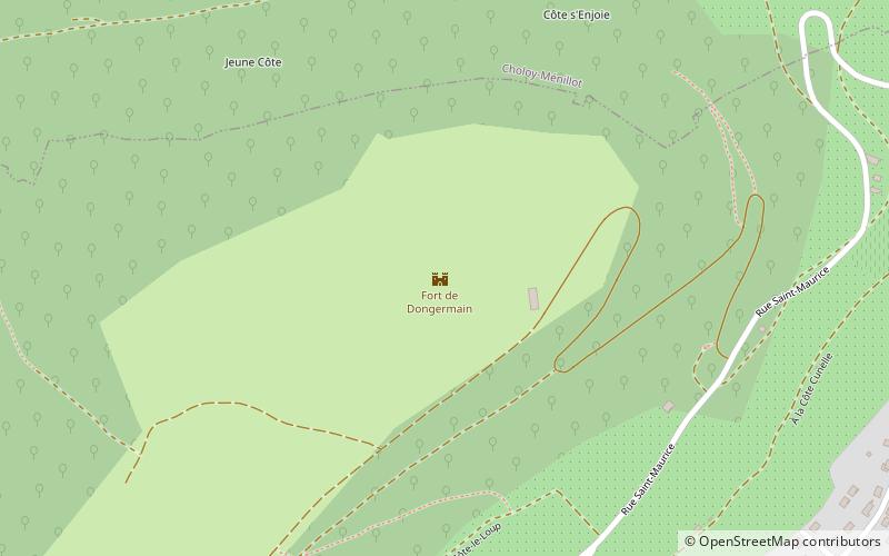
Fort de Dongermain
Map

Map

Facts and practical information
The fort of Domgermain is a work of the stronghold of Toul belonging to the Séré de Rivières system. It was built at the end of the plateau marking the Foug threshold to the south. It is located at an altitude of 398 m. It is shaped like an irregular pentagon.
Coordinates: 48°38'58"N, 5°49'28"E
Day trips
Fort de Dongermain – popular in the area (distance from the attraction)
Nearby attractions include: Toul Cathedral, Synagogue de Toul, Musée d’Art et d’Histoire de Toul, Collégiale Saint-Gengoult.


