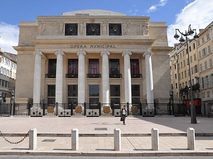
Museum of the Roman Docks, Marseille
Map

Map

Facts and practical information
The Roman Docks Museum, located at 28 place Vivaux in the 2nd district of Marseille, presents in situ the remains of one of the rare Roman commercial warehouses known in the world. These remains are classified as historical monuments by order of October 22, 1959.
Local name: Musée des Docks RomainsCoordinates: 43°17'48"N, 5°22'5"E
Day trips
Museum of the Roman Docks – popular in the area (distance from the attraction)
Nearby attractions include: Vieux-Port, Marseille Cathedral, Museum of European and Mediterranean Civilisations, Fort Saint-Jean.
Frequently Asked Questions (FAQ)
Which popular attractions are close to Museum of the Roman Docks?
Nearby attractions include Chapelle des Pénitents blancs du Saint-Esprit, Marseille (3 min walk), Place de Lenche, Marseille (3 min walk), Vieux-Port, Marseille (5 min walk), L'Hotel de Ville, Marseille (5 min walk).
How to get to Museum of the Roman Docks by public transport?
The nearest stations to Museum of the Roman Docks:
Bus
Ferry
Tram
Metro
Train
Bus
- Caisserie Beauregard • Lines: 49 (1 min walk)
- Quai du Port • Lines: 582, 60, 82, 82S, 83 (2 min walk)
Ferry
- Hôtel de Ville • Lines: Ferry (4 min walk)
- Place aux Huiles • Lines: Ferry (7 min walk)
Tram
- Sadi Carnot • Lines: T2, T3 (7 min walk)
- République Dames • Lines: T2, T3 (10 min walk)
Metro
- Vieux Port • Lines: M1 (9 min walk)
- Colbert • Lines: M1 (11 min walk)
Train
- Marseille-Saint-Charles (21 min walk)
- Arenc-Euroméditerranée (29 min walk)


