Fort des Dunes, Leffrinckoucke

Gallery (1)
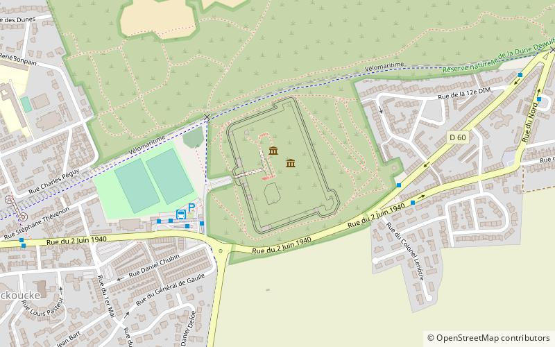
Map
Map
Facts and practical information
The Fort des Dunes, also known as Fort Leffrinckoucke and sometime Fort de l'Est, is located in the commune of Leffrinckoucke, France, about 6 kilometres east of Dunkirk. Built from 1878 to 1880, it is part of the Séré de Rivières system of fortifications that France built following the defeat of the Franco-Prussian War. Although it played no part in World War I, it had a significant role in both the beginning and end of World War II. It has been preserved and is interpreted by a local preservation association for the public. ()
Day trips


