Pica d'Estats


Facts and practical information
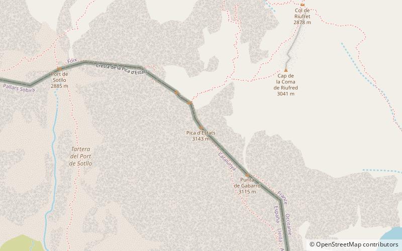
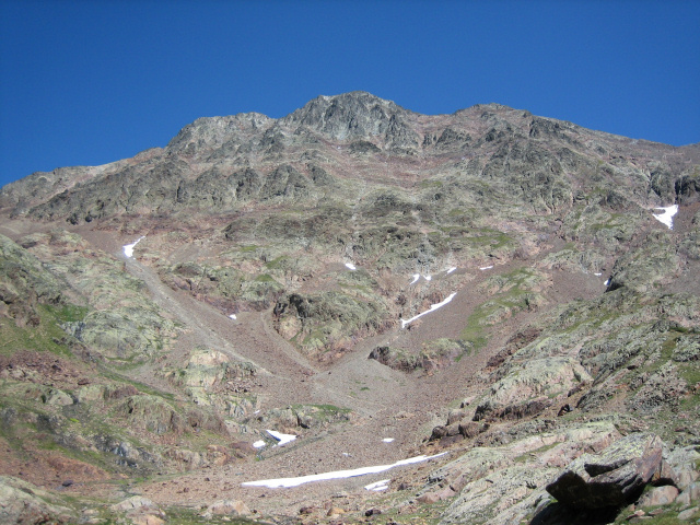
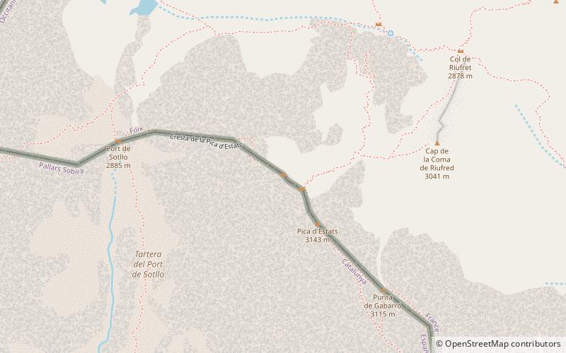
Pica d'Estats is the highest peak in the Catalan Pyrenees, soaring to an elevation of 3,143 meters. Straddling the border between Spain and France, this mountain is located in the Ariège department of southwestern France. It is renowned for its rugged beauty and the panoramic views it offers of the Pyrenean landscape.
Climbing Pica d'Estats is a challenging yet rewarding endeavor, attracting mountaineers and hikers from around the world. The ascent generally begins from the Spanish side, with the most common route starting at the village of Àreu and proceeding through the Vall Ferrera to the Refugi de Vallferrera, a mountain hut that serves as a base camp for climbers.
The mountain's geology is characterized by Paleozoic materials, primarily granite, which forms its impressive peaks and cliffs. The ascent includes a mix of rocky scrambles and snowfields, depending on the season, and climbers must be well-prepared for the mountain's unpredictable weather.
For those who reach the summit, Pica d'Estats offers a breathtaking vista, encompassing the lush valleys below and the chain of Pyrenean peaks stretching into the horizon. It is not only a physical high point but also a sublime natural experience that encapsulates the majesty of the high mountains.
Occitanie
Pica d'Estats – popular in the area (distance from the attraction)
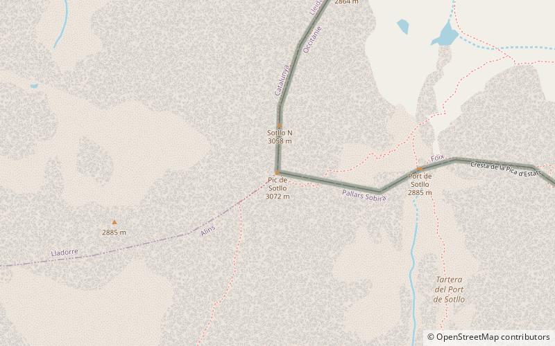
Nearby attractions include: Pic de Montcalm, Pic Verdaguer, Punta Gabarró, Pic de Sotllo.


