La Magnanerie, Bourré

Gallery (1)
Map
Map
Facts and practical information
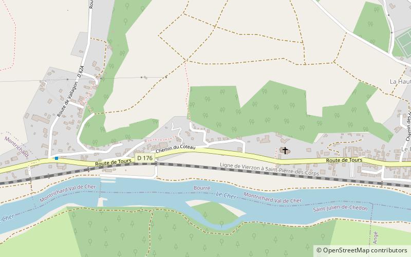
La Magnanerie (address: 4 Chemin de la Croix Bardin) is a place located in Bourré (Centre-Loire Valley region) and belongs to the category of top attraction, specialty museum, history museum.
It is situated at an altitude of 292 feet, and its geographical coordinates are 47°20'48"N latitude and 1°12'59"E longitude.
Among other places and attractions worth visiting in the area are: Château de Montrichard, Montrichard (museum, 37 min walk), Saint-Julien-de-Chédon (locality, 38 min walk), Public Library, Montrichard (library, 39 min walk).
Coordinates: 47°20'48"N, 1°12'59"E
Day trips


