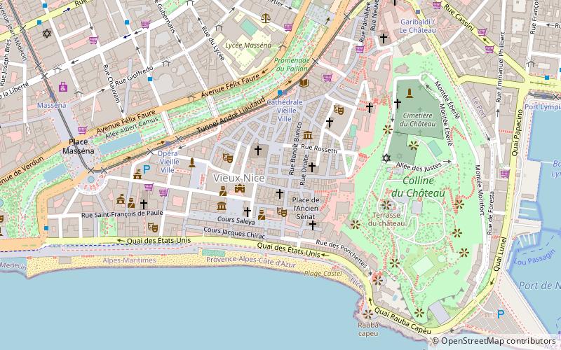
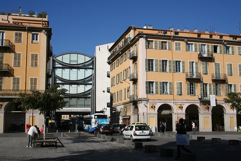
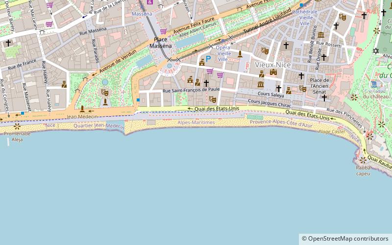
Place Vieille, Nice
Facts and practical information
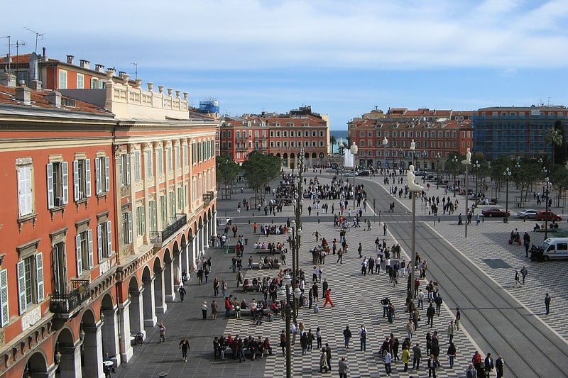
Place Vieille is a place located in Nice (Provence-Alpes-Côte d'Azur region) and belongs to the category of square, neighbourhood.
It is situated at an altitude of 82 feet, and its geographical coordinates are 43°41'48"N latitude and 7°16'35"E longitude.
Planning a visit to this place, one can easily and conveniently get there by public transportation. Place Vieille is a short distance from the following public transport stations: Cathédrale - Vieille Ville (bus, 4 min walk), Cathédrale - Vieille Ville (tram, 4 min walk), Nice Ferry Terminal (ferry, 13 min walk), Nice-Ville (train, 24 min walk).
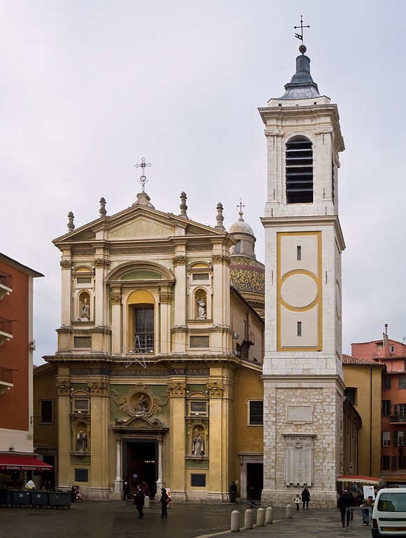
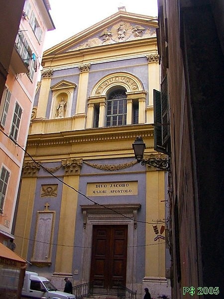
Among other places and attractions worth visiting in the area are: Chapelle Saint-Jaume ou Saint-Jacques-le-Majeur ou Saint-Giaume (church, 1 min walk), Nice Cathedral (church, 2 min walk), Place Rossetti (square, 2 min walk).
Vieille Ville (Vieux Nice - Sainte Réparate)Nice
- Bus
- Tram
- Train
- Ferry
 Bus
Bus
- Calculate routeCathédrale - Vieille Ville 4 min walk
- Calculate routeStation J.C. Bermond 5 min walk
- Calculate routeLycée Masséna 6 min walk
- Calculate routeAlberti/Gioffredo 7 min walk
- Calculate routeCathédrale - Vieille Ville 4 min walk
- Calculate routeOpéra - Vieille Ville 5 min walk
- Calculate routeGaribaldi / Le Château 9 min walk
- Calculate routeMasséna 10 min walk
- Calculate routeNice Ferry Terminal 13 min walk
- Calculate routeNice-Ville 24 min walk
- Calculate routeNice Riquier 25 min walk
- Calculate routeNice - CP 31 min walk
- Calculate routeGambetta 36 min walk


Frequently Asked Questions (FAQ)
Which popular attractions are close to Place Vieille?
How to get to Place Vieille by public transport?
Bus
- Cathédrale - Vieille Ville • Lines: 12 (4 min walk)
- Station J.C. Bermond • Lines: 12 (5 min walk)
Tram
- Cathédrale - Vieille Ville • Lines: 1 (4 min walk)
- Opéra - Vieille Ville • Lines: 1 (5 min walk)
Ferry
- Nice Ferry Terminal (13 min walk)
Train
- Nice-Ville (24 min walk)
- Nice Riquier (25 min walk)