Town Hall

Gallery (1)
Map
Map
Facts and practical information
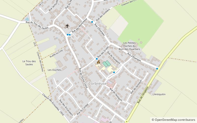
Town Hall (address: Rue des Écoles) is a place located in France and belongs to the category of city hall.
It is situated at an altitude of 512 feet, and its geographical coordinates are 48°29'57"N latitude and 1°57'38"E longitude.
Among other places and attractions worth visiting in the area are: Les Granges-le-Roi (locality, 65 min walk), Église Saint-Germain-d'AuxerreDourdan (church, 80 min walk), Château de DourdanDourdan (forts and castles, 80 min walk).
Coordinates: 48°29'57"N, 1°57'38"E
Day trips


