Croix de la chapelle

Gallery (1)
Map
Map
Facts and practical information
The Cross of the chapel of Goux-les-Usiers is a cross of the XVI th century located on the commune of Goux-les-Usiers in the French department of Doubs.
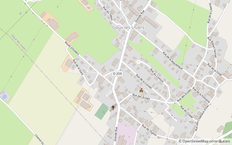
Coordinates: 46°58'20"N, 6°16'32"E
Location
Bourgogne-Franche-Comté
ContactAdd
Social media
Add
Day trips


