Forêt de Rouvray


Facts and practical information
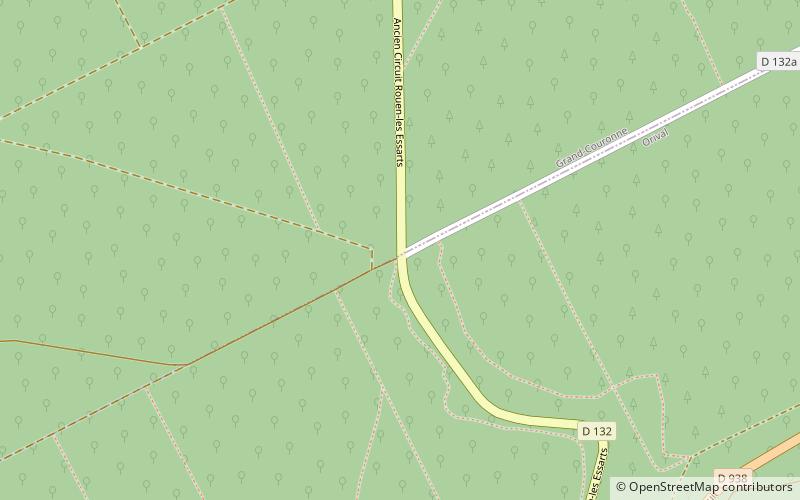
The once vast Forêt de Rouvray was a forest that extended from west of Paris in the Île-de-France region westwards into Normandy, virtually unbroken, threaded by the winding loops of the River Seine, traversed by forest traces and dotted with isolated woodland hamlets, as far as Rouen. A rural relict is the 5 100 ha of the protected Forêt Domaniale de la Londe-Rouvray, at Les Essarts, Normandy, near Saint-Étienne-du-Rouvray, south of Rouen, on an upland massif above the left bank of the Seine, which makes a wide arc enclosing it. On the right bank, to the west, is what is left of the Forêt de Roumare, another former royal forest. ()
Normandy
Forêt de Rouvray – popular in the area (distance from the attraction)
Nearby attractions include: Château de Robert le Diable, Saint-Ouen-de-Thouberville, Centre commercial Tourville-la-Rivière, Sotteville-lès-Rouen.


