Saint-Nazaire Bridge, Saint-Nazaire
Map

Map

Facts and practical information
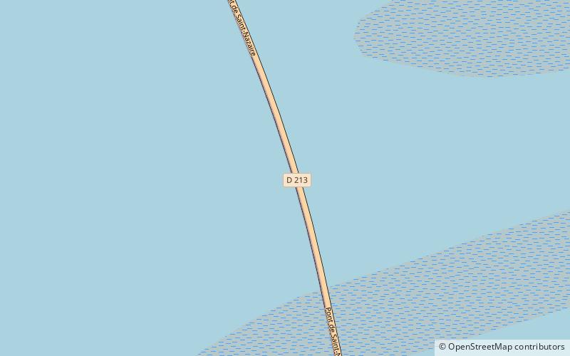
The Saint-Nazaire Bridge is a cable-stayed bridge spanning the river Loire and linking Saint-Nazaire on the north bank and Saint-Brevin-les-Pins on the south bank, in the department of Loire-Atlantique, Pays de la Loire, France. The bridge is crossed by the "Route bleue". ()
Local name: Pont de Saint-Nazaire Opened: 1975 (51 years ago)Length: 2.09 miCoordinates: 47°16'34"N, 2°9'53"W
Address
Saint-Nazaire
ContactAdd
Social media
Add
Day trips
Saint-Nazaire Bridge – popular in the area (distance from the attraction)
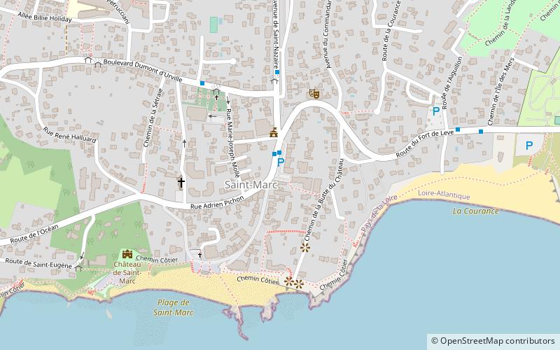
Nearby attractions include: Saint-Nazaire submarine base, Escal'Atlantic, Saint-Marc-sur-Mer, Chantiers de l'Atlantique.
Frequently Asked Questions (FAQ)
Which popular attractions are close to Saint-Nazaire Bridge?
Nearby attractions include Musée de la Marine, Saint-Brevin-les-Pins (16 min walk), Serpent d'océan, Saint-Brevin-les-Pins (17 min walk).


