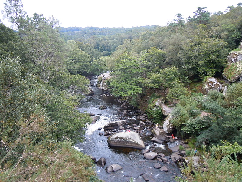
Les Roches du Diable, Locunolé

Gallery (4)
Map

Map
Gallery
Facts and practical information
Les Roches du Diable is the name of a natural site located in the department of Finistère between the municipalities of Querrien, Guilligomarc'h and Locunolé.
Elevation: 210 ft a.s.l.Coordinates: 47°56'40"N, 3°28'6"W
Day trips


