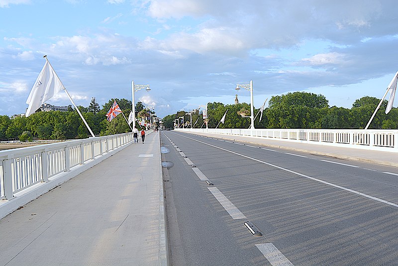
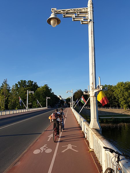
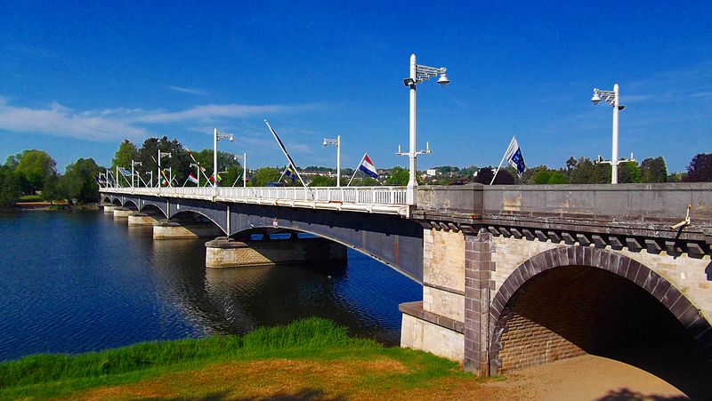
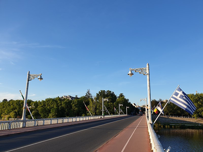
Pont de Bellerive, Vichy

Facts and practical information
Pont de Bellerive is a place located in Vichy (Auvergne-Rhône-Alpes region) and belongs to the category of bridge.
It is situated at an altitude of 823 feet, and its geographical coordinates are 46°7'9"N latitude and 3°25'2"E longitude.
Planning a visit to this place, one can easily and conveniently get there by public transportation. Pont de Bellerive is a short distance from the following public transport stations: Pont Bellerive (bus, 4 min walk), Vichy (train, 22 min walk).
Among other places and attractions worth visiting in the area are: Plage des Célestins (beach, 7 min walk), Centre Commercial Le Carré d'As (shopping, 7 min walk), Église Saint-Blaise et Notre-Dame-des-Malades (church, 7 min walk).
Vichy
Pont de Bellerive – popular in the area (distance from the attraction)
Nearby attractions include: Golf du Sporting Club de Vichy, Musée des Arts d'Afrique et d'Asie, Bellerive-sur-Allier, Musée de l'Opéra.
Frequently Asked Questions (FAQ)
When is Pont de Bellerive open?
- Monday 24h
- Tuesday 24h
- Wednesday 24h
- Thursday 24h
- Friday 24h
- Saturday 24h
- Sunday 24h
Which popular attractions are close to Pont de Bellerive?
How to get to Pont de Bellerive by public transport?
Bus
- Pont Bellerive • Lines: B, C, G (4 min walk)
- Napoléon III • Lines: E (5 min walk)
Train
- Vichy (22 min walk)


