Montalbert, Mâcot-la-Plagne
Map
Gallery

Facts and practical information
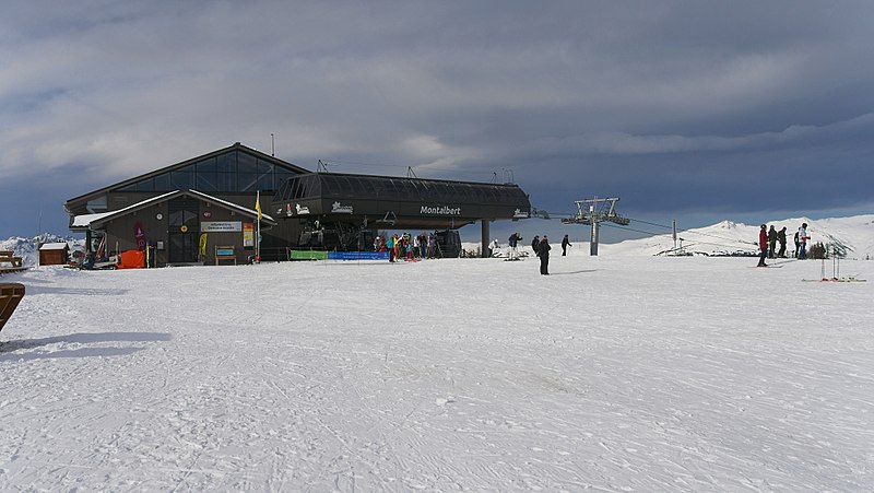
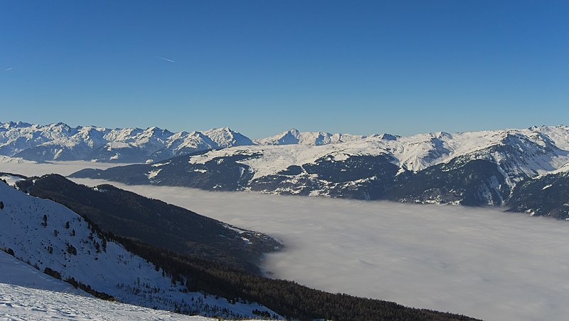
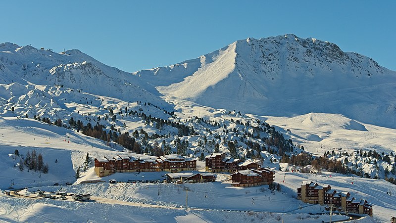
Montalbert is a village situated on the flanks of Mont Jovet, a 2558m peak overlooking the Tarentaise valley in Savoie, a department of the Auvergne-Rhone-Alpes region. It was originally a farming hamlet, but since the first lifts were built in the 1970s, it has evolved into a dedicated holiday resort. It now has few permanent residents, with most seasonal workers preferring to live in other nearby settlements, such as Longefoy. It remains an attractive village, with an old chapel at its centre. ()
Coordinates: 45°32'1"N, 6°38'19"E
Address
Mâcot-la-Plagne
ContactAdd
Social media
Add
Day trips
Montalbert – popular in the area (distance from the attraction)
Nearby attractions include: La Plagne bobsleigh, Moûtiers Cathedral, Refuge du Bois, Tarentaise Valley.


