St. Anne's Church, Arles
Map
Gallery
Facts and practical information
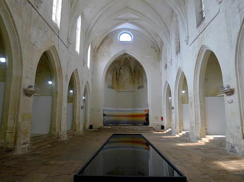
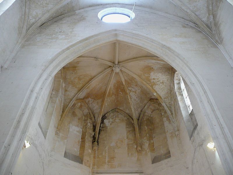
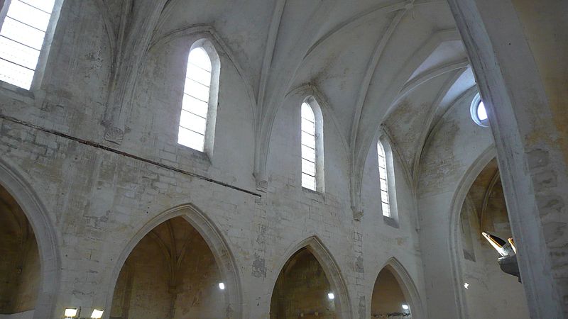
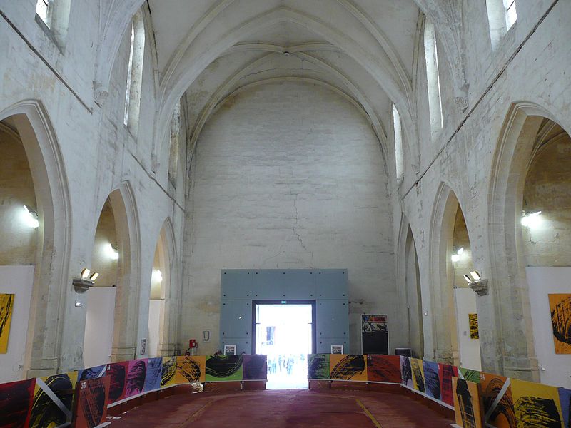
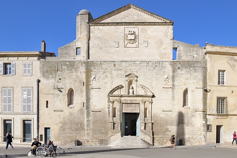
The church of Sainte-Anne, or more formerly Notre-Dame-la-Principale, was the first Roman Catholic parish in downtown Arles, France. Disused after the Revolution, used to house the city's lapidary museum, it was classified as a historical monument by the 1875 list and is now used as an exhibition space.
Coordinates: 43°40'36"N, 4°37'38"E
Address
Centre Ville ArlesArles
ContactAdd
Social media
Add
Day trips
St. Anne's Church – popular in the area (distance from the attraction)
Nearby attractions include: Arles Amphitheatre, Church of St. Trophime, Musée de l'Arles antique, Alyscamps.
Frequently Asked Questions (FAQ)
Which popular attractions are close to St. Anne's Church?
Nearby attractions include Cryptoportiques, Arles (1 min walk), Obélisque d'Arles, Arles (1 min walk), Museon Arlaten, Arles (2 min walk), The Manuel Rivera-Ortiz Foundation for Documentary Photography & Film, Arles (2 min walk).
How to get to St. Anne's Church by public transport?
The nearest stations to St. Anne's Church:
Bus
Train
Bus
- Georges Clemenceau • Lines: 1, 1021, 2, 29, 4, 5, 54, 6, A, A10, A30, A50 (4 min walk)
- Envia (4 min walk)
Train
- Arles (16 min walk)


