Trek Zone

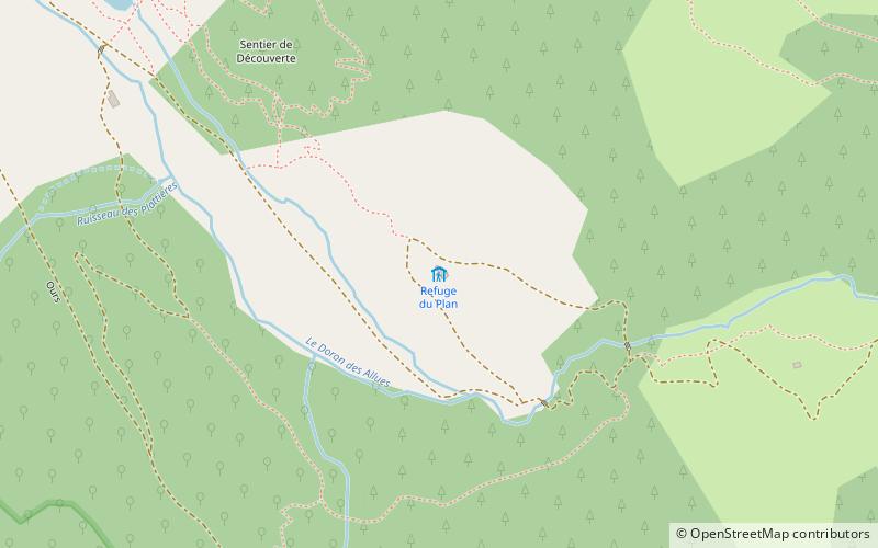
Chalet du Plan, Meribel

#2 among attractions in Meribel

Hiking, Alpine hut
Chalet du Plan

Facts and practical information

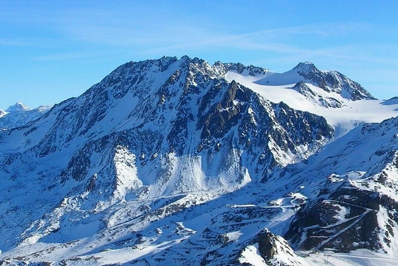
Chalet du Plan (address: Réserve Naturelle de Tuéda, 73550 Les Allues) is a place located in Meribel (Auvergne-Rhône-Alpes region) and belongs to the category of hiking, alpine hut.

It is situated at an altitude of 5725 feet, and its geographical coordinates are 45°21'27"N latitude and 6°35'39"E longitude.

Among other places and attractions worth visiting in the area are: Lac de Tuéda (nature, 13 min walk), Dent de Burgin, Courchevel (nature, 58 min walk), Refuge du Saut (alpine hut, 59 min walk).

Coordinates: 45°21'27"N, 6°35'39"E
Address

Réserve Naturelle de Tuéda, 73550 Les AlluesMeribel France

Contact
+33 6 89 23 85 68
Social media
Add

Meribel plan & book

Unleash the traveler in you — discover the cheapest flight deals, find the perfect hotel or hostel nearby, and search for the best car rental prices. Travel at your own pace to discover new places and enjoy your journey.

Day trips

Chalet du Plan – popular in the area (distance from the attraction)

Nearby attractions include: La Tania, Les Menuires, Refuge du Roc de la Pêche, Loze.

  • la tania courchevel4.6 miN
  • les menuires val thorens3.4 miSW
  • refuge du roc de la peche pralognan la vanoise5.1 miSE
  • loze meribel3.3 miN
  • aiguille de peclet val thorens5.4 miS
  • masse 25.3 miSW
  • refuge du lac du lou val thorens location map
    5.6 miSW
  • saulire courchevel2.5 miNE
  • dent de burgin courchevel2.3 miN
  • roc des saints peres val thorens location map
    5.5 miS
  • saint martin de belleville4.6 miW

Where to next? Visit auvergne rhone alpes Auvergne-Rhône-Alpes region page or discover the top tourist attractions in France.