Cap Blanc rock shelter
Map
![Cap Blanc rock shelter location map](https://tzmedia.b-cdn.net/media/images/static-maps/fr/44_9456_1_09694.jpg)
Map
![Cap Blanc rock shelter location map](https://tzmedia.b-cdn.net/media/images/static-maps/fr/44_9456_1_09694.jpg)
Facts and practical information
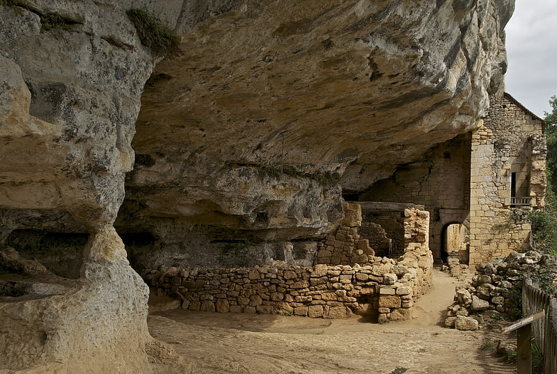
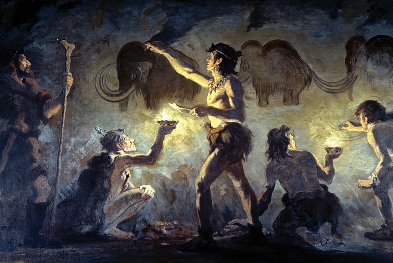
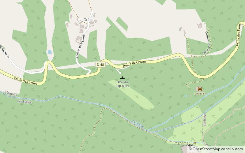
The abri de Cap Blanc is a prehistoric limestone rock shelter with Magdalenian animal sculptures. It is in the Marquay commune on the right bank of the Beune River, a few kilometers west of Eyzies-de-Tayac, in Dordogne. ()
Location
New Aquitaine
ContactAdd
Social media
Add
Day trips
Cap Blanc rock shelter – popular in the area (distance from the attraction)
Nearby attractions include: Château de Commarque, Village de la Madeleine, Font-de-Gaume, Cro-Magnon rock shelter.