Port Saint-Bernard, Paris
Map
Gallery
Facts and practical information
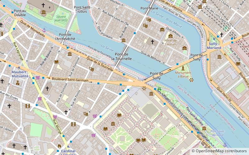
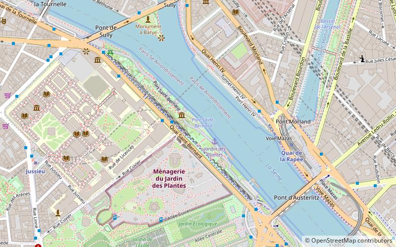
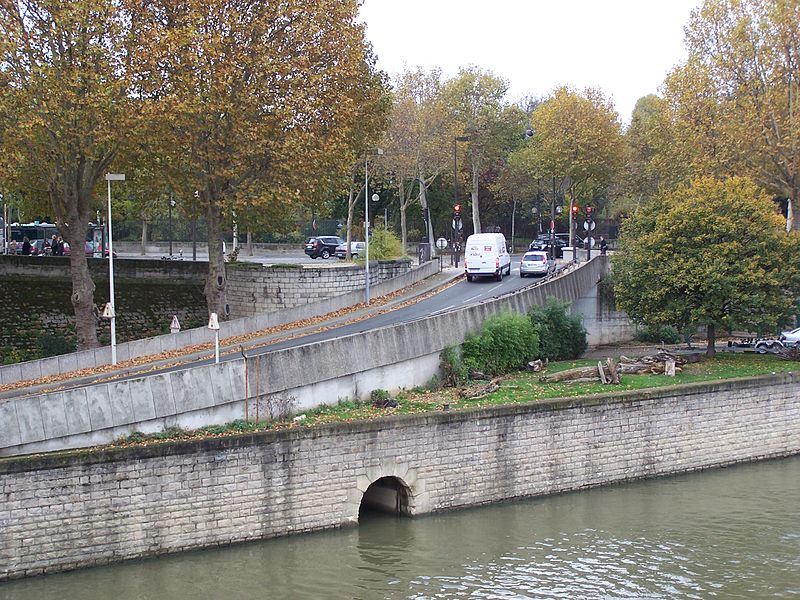
The port Saint-Bernard is a road along the Seine in the Jardin-des-Plantes district of the 5th arrondissement of Paris. It should not be confused with the Quai Saint-Bernard located on the upper level and not on the bank.
Coordinates: 48°50'50"N, 2°21'43"E
Address
Panthéon (Jardin Des Plantes)Paris
ContactAdd
Social media
Add
Day trips
Port Saint-Bernard – popular in the area (distance from the attraction)
Nearby attractions include: Jardin des Plantes, Arab World Institute, La Ménagerie, Bassin de l'Arsenal.
Frequently Asked Questions (FAQ)
Which popular attractions are close to Port Saint-Bernard?
Nearby attractions include Musée de la Sculpture en Plein Air, Paris (2 min walk), La Ménagerie, Paris (4 min walk), Bibliothèque de l'Arsenal, Paris (6 min walk), Pavillon de l'Arsenal, Paris (7 min walk).
How to get to Port Saint-Bernard by public transport?
The nearest stations to Port Saint-Bernard:
Ferry
Bus
Metro
Train
Ferry
- Jardin des Plantes • Lines: Batobus (2 min walk)
- Notre-Dame • Lines: Batobus (16 min walk)
Bus
- Cuvier • Lines: 63, 89 (2 min walk)
- Port Henri IV • Lines: 72 (4 min walk)
Metro
- Quai de la Rapée • Lines: 5 (5 min walk)
- Sully - Morland • Lines: 7 (8 min walk)
Train
- Gare d'Austerlitz (12 min walk)
- Gare de Lyon (15 min walk)

 Metro
Metro


