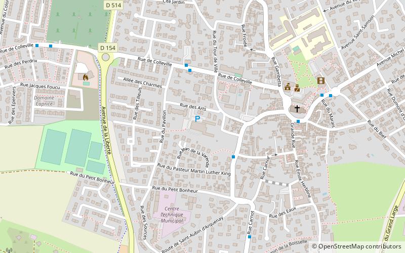
Centre socioculturel, Ouistreham
Map

Map

Facts and practical information
Centre socioculturel (address: 11, rue des Arts) is a place located in Ouistreham (Normandy region) and belongs to the category of sightseeing.
It is situated at an altitude of 43 feet, and its geographical coordinates are 49°16'33"N latitude and 0°15'44"W longitude.
Among other places and attractions worth visiting in the area are: St. Samson Church (church, 5 min walk), Canal de Caen à la Mer, Caen (canal, 17 min walk), Le Grand bunker musée du mur de l'atlantique Ouistreham Normandie (specialty museum, 24 min walk).
Coordinates: 49°16'33"N, 0°15'44"W
Address
11, rue des ArtsOuistreham
ContactAdd
Social media
Add
Day trips
Centre socioculturel – popular in the area (distance from the attraction)
Nearby attractions include: Pegasus Bridge, Memorial Pegasus, Merville Gun Battery, Ranville War Cemetery.
Frequently Asked Questions (FAQ)
Which popular attractions are close to Centre socioculturel?
Nearby attractions include St. Samson Church, Ouistreham (5 min walk), Canal de Caen à la Mer, Caen (17 min walk), Le Grand bunker musée du mur de l'atlantique Ouistreham Normandie, Ouistreham (24 min walk).


