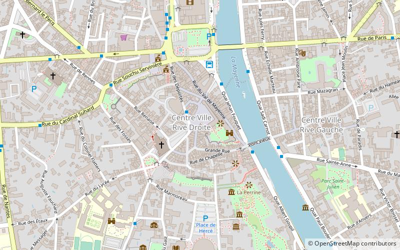
Pont Aristide Briand, Laval
Map

Map

Facts and practical information
The Aristide-Briand Bridge, formerly Pont Neuf, is a bridge built over the Mayenne River in Laval. It dates from the early 19th century and is the second oldest bridge in the city after the Pont Vieux.
Coordinates: 48°4'7"N, 0°46'19"W
Address
Laval
ContactAdd
Social media
Add
Day trips
Pont Aristide Briand – popular in the area (distance from the attraction)
Nearby attractions include: Jardin de la Perrine, Laval Cathedral, Musée des Sciences, Tissus d'Avesnières.
Frequently Asked Questions (FAQ)
Which popular attractions are close to Pont Aristide Briand?
Nearby attractions include Laval Cathedral, Laval (3 min walk), Pont Vieux, Laval (4 min walk), Fontaine de Patience, Laval (4 min walk), Jardin de la Perrine, Laval (5 min walk).
How to get to Pont Aristide Briand by public transport?
The nearest stations to Pont Aristide Briand:
Bus
Train
Bus
- Trémoille • Lines: C, E, G (1 min walk)
- Jarry • Lines: C, J (3 min walk)
Train
- Laval (19 min walk)


