Château de Verneuil sur Indre

Gallery (1)
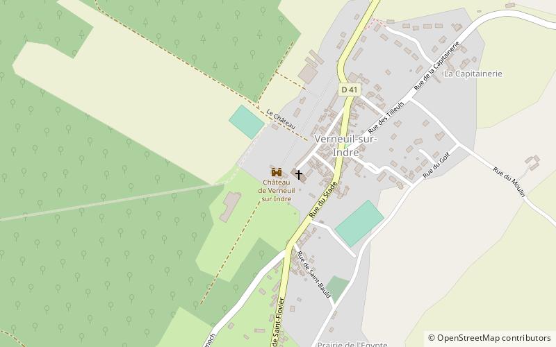
Map
Map
Facts and practical information
The castle of Verneuil-sur-Indre is a French castle that includes on the one hand the remains of a castle dating back to the fifteenth century and on the other hand a castle in the classical style, located in the current municipality of Verneuil-sur-Indre, in the current department of Indre-et-Loire and the region Centre-Val de Loire.
Coordinates: 47°3'19"N, 1°2'23"E
Location
Centre-Loire Valley
ContactAdd
Social media
Add
Day trips


