Château de Charolles, Charolles
Map

Gallery

Facts and practical information
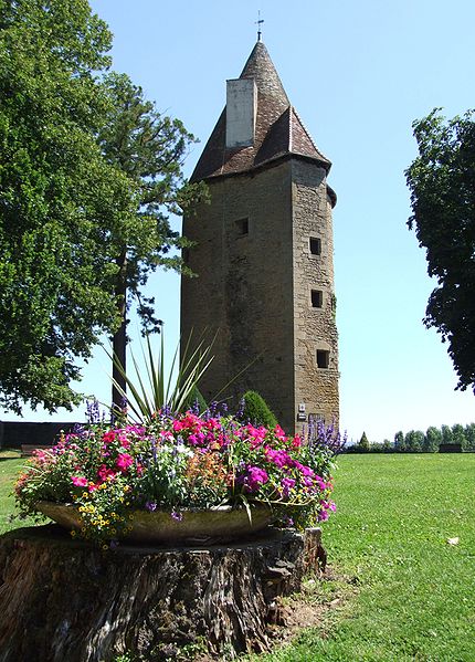
The castle of Charles-le-Téméraire or castle of Charolles is an ancient fortress, whose origin dates back to the thirteenth century, which stands on the town of Charolles, in the department of Saône-et-Loire, in the region Bourgogne-Franche-Comté. In the Middle Ages it was the center of one of the six castelleries of the county of Charolais.
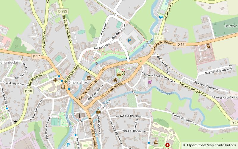
Coordinates: 46°26'9"N, 4°16'38"E
Address
Charolles
ContactAdd
Social media
Add
Day trips
Château de Charolles – popular in the area (distance from the attraction)
Nearby attractions include: Musée du Prieuré, Château de Dyo, Château de Montessus, Domaine de Grammont.
Frequently Asked Questions (FAQ)
Which popular attractions are close to Château de Charolles?
Nearby attractions include Médiathèque, Charolles (4 min walk), Musée du Prieuré, Charolles (7 min walk).


