Château de Fleury-en-Bière, Fontainebleau et du Gâtinais
Map

Map

Facts and practical information
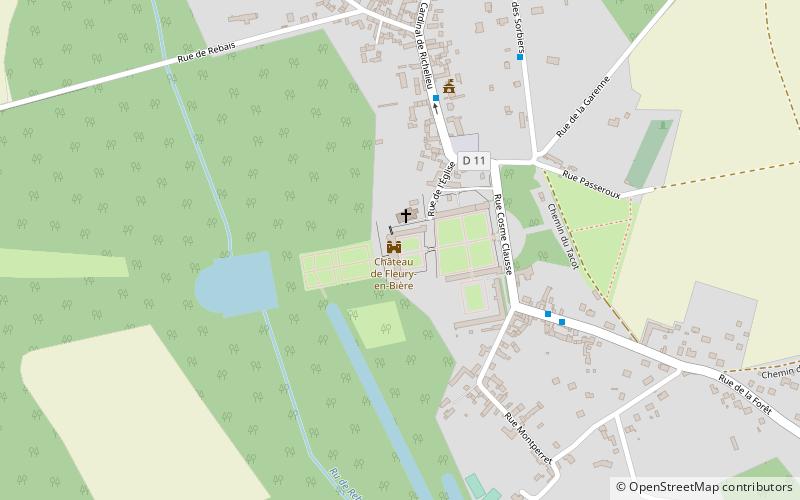
The castle of Fleury-en-Bière is located in the commune of Fleury-en-Bière, in the department of Seine-et-Marne.
Coordinates: 48°26'46"N, 2°32'53"E
Address
11 rue des TisserandsFontainebleau et du Gâtinais 77930
ContactAdd
Social media
Add
Day trips
Château de Fleury-en-Bière – popular in the area (distance from the attraction)
Nearby attractions include: Fontainebleau rock climbing, Château de Courances, Jean Cocteau House, Conservatoire National des Plantes à Parfum.
Frequently Asked Questions (FAQ)
How to get to Château de Fleury-en-Bière by public transport?
The nearest stations to Château de Fleury-en-Bière:
Bus
Bus
- Place • Lines: 9Cc (27 min walk)
- Mairie • Lines: 9Cc (33 min walk)


