Fort d'Hauteville, Hauteville-lès-Dijon

Gallery (1)
Map
Map
Facts and practical information
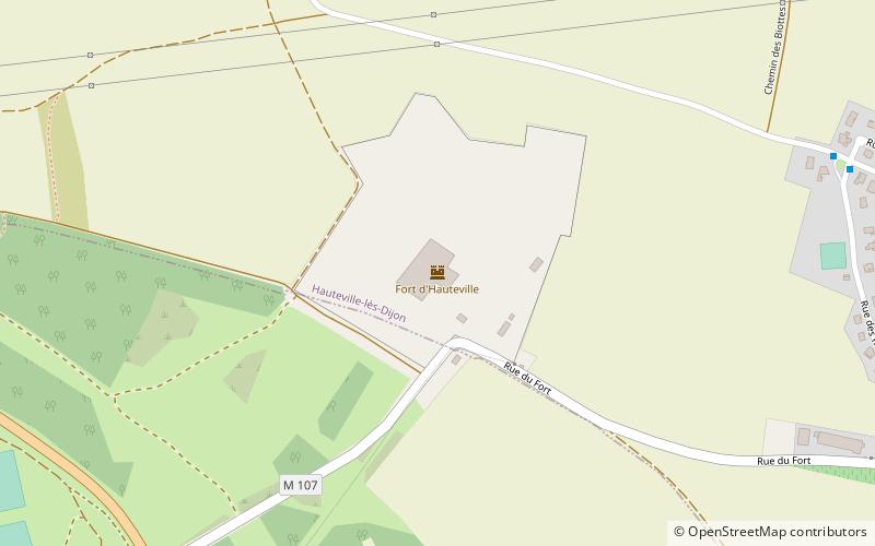
Fort Hauteville, briefly called Fort Carnot during the Boulanger ministry, belongs to the Séré de Rivières system, a set of fortifications built from 1874 to protect the French borders. Built at Hauteville-lès-Dijon, which overlooks the city of Dijon, it is one of the essential elements of a belt of fortifications designed to protect the city of Dijon.
Coordinates: 47°22'2"N, 4°58'48"E
Address
Hauteville-lès-Dijon
ContactAdd
Social media
Add
Day trips


