Cimetière militaire allemand de Montmédy, Montmédy

Gallery (1)
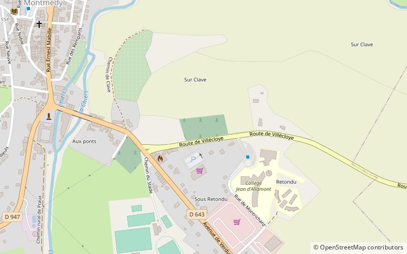
Map
Map
Facts and practical information
Cimetière militaire allemand de Montmédy is a place located in Montmédy (Grand Est region) and belongs to the category of cemetery.
It is situated at an altitude of 673 feet, and its geographical coordinates are 49°30'58"N latitude and 5°22'26"E longitude.
Among other places and attractions worth visiting in the area are: St. Martin's Church (church, 15 min walk), Basilique Notre-Dame d'Avioth, Avioth (church, 92 min walk), Écouviez (locality, 96 min walk).
Coordinates: 49°30'58"N, 5°22'26"E
Address
Montmédy
ContactAdd
Social media
Add
Day trips


