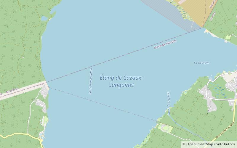
Étang de Cazaux et de Sanguinet
Map

Map

Facts and practical information
Étang de Cazaux et de Sanguinet is a lake in Gironde / Landes, France. At an elevation of 12 m, its surface area is 55 km². ()
Alternative names: Area: 21.24 mi²Maximum depth: 75 ftElevation: 66 ft a.s.l.Coordinates: 44°29'1"N, 1°9'21"W
Location
New Aquitaine
ContactAdd
Social media
Add
Day trips
Étang de Cazaux et de Sanguinet – popular in the area (distance from the attraction)
Nearby attractions include: Bisc'aventure, Sanguinet.


