Chapelle Saint-Pancrace, Luberon
Map
Gallery
Facts and practical information
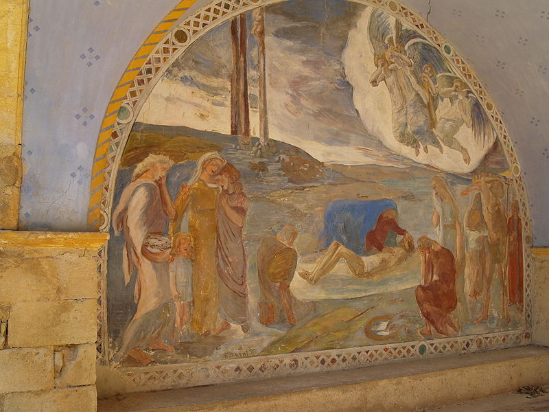
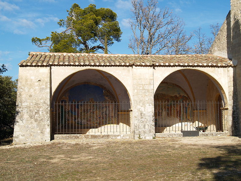
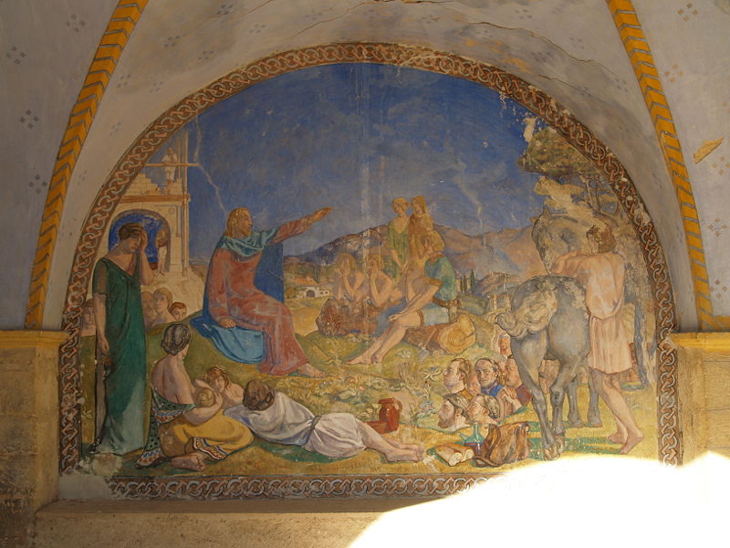
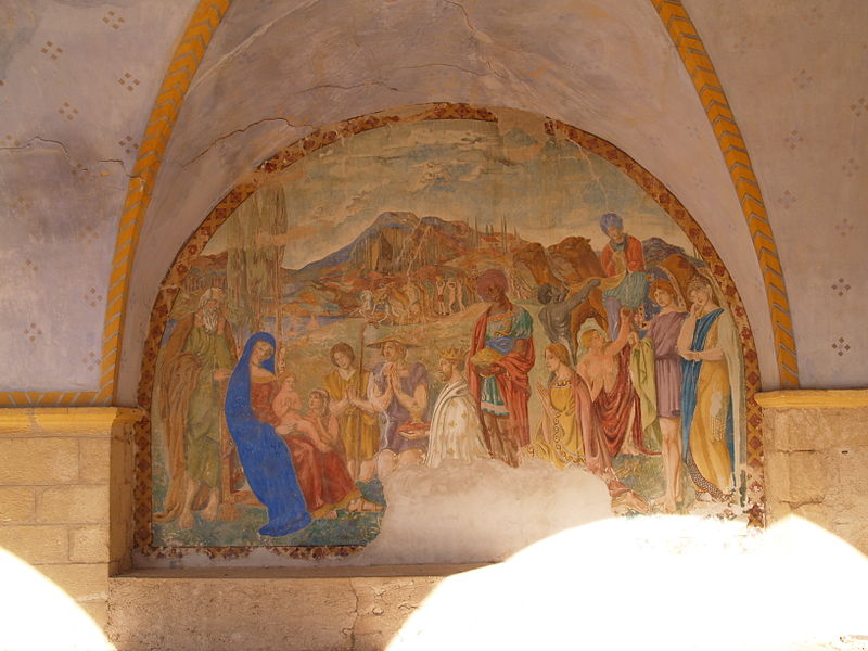
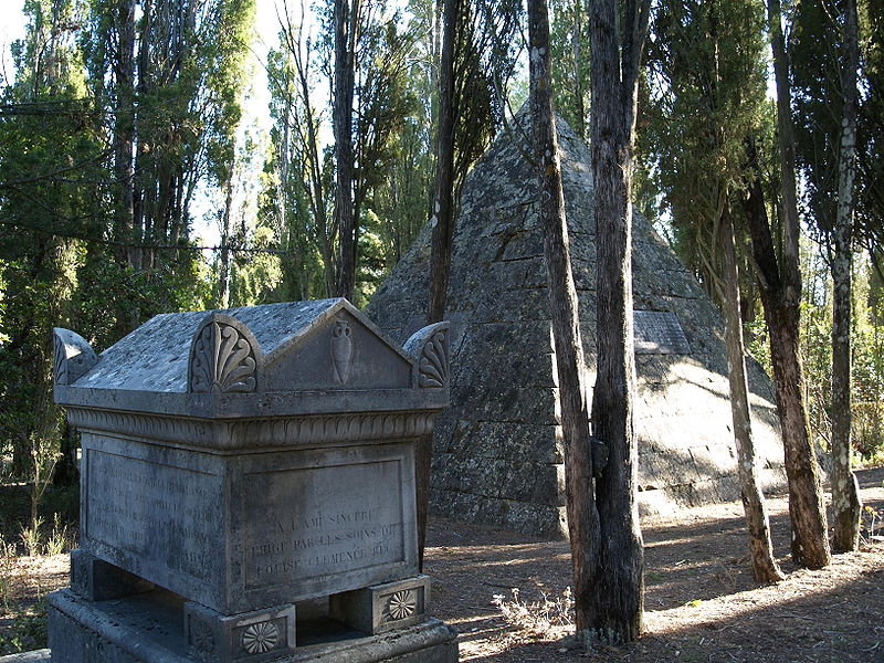
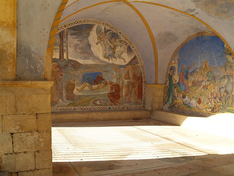
The hermitage of Saint-Pancrace, in the commune of Grambois in the French department of Vaucluse in the Provence-Alpes-Côte d'Azur region, is an ancient monastic building registered as a historical monument.
It is located on the domain of the castle of Pradine. Private property, the building as well as the chapel and the cemetery cannot be visited.
Architectural style: Romanesque architectureCoordinates: 43°46'54"N, 5°35'46"E
Address
Luberon
ContactAdd
Social media
Add
Day trips
Chapelle Saint-Pancrace – popular in the area (distance from the attraction)
Nearby attractions include: Étang de la Bonde, Cabrières-d'Aigues, Château de la Tour-d'Aigues, Moulin à vent Saint-Elzéar de Montfuron.
Frequently Asked Questions (FAQ)
How to get to Chapelle Saint-Pancrace by public transport?
The nearest stations to Chapelle Saint-Pancrace:
Bus
Bus
- Les Dones • Lines: 107 (25 min walk)
- Hameau de Fiéraque • Lines: 107 (25 min walk)


