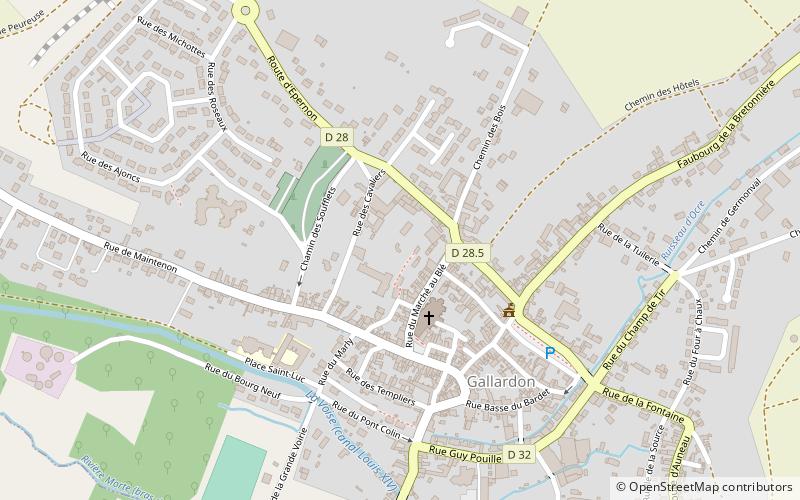
Tour dite de L'Epaule, Gallardon
Map

Map

Facts and practical information
The tower known as de l'Épaule, is a 12th century feudal keep, witness of a medieval stronghold, classified as a historical monument in 1913, located in the commune of Gallardon in Eure-et-Loir.
Coordinates: 48°31'34"N, 1°41'15"E
Address
Gallardon
ContactAdd
Social media
Add
Day trips
Tour dite de L'Epaule – popular in the area (distance from the attraction)
Nearby attractions include: Château de Maintenon, Château de Baronville, Church of St. Peter and St. Paul, Château de Sauvage.


