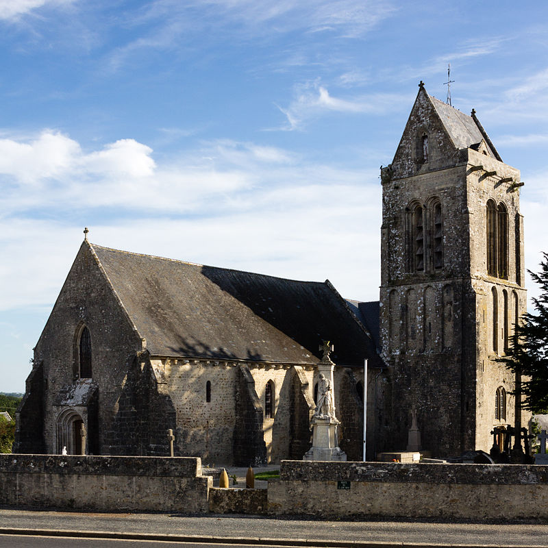
Église Saint-Marcouf

Gallery (2)
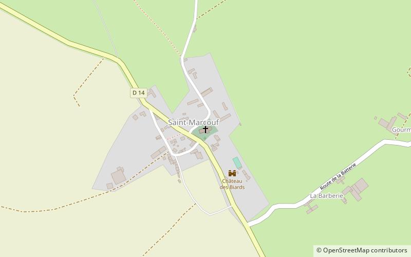
Map
Map
Gallery
Facts and practical information
The church of Saint-Marcouf is a Catholic church, built in the eleventh century, reworked in the thirteenth, fifteenth and eighteenth centuries, placed under the name of Marcoul, which stands on the French town of Saint-Marcouf in the department of Manche, Normandy region.
The crypt was classified as a historical monument by order of May 21, 1906; the entire church was registered by order of November 22, 2007.
Architectural style: Romanesque architecture, Pre-romanesque architectureCoordinates: 49°28'24"N, 1°17'22"W
Location
Chemin des AzesSaint-Marcouf 50310 Normandy
ContactAdd
Social media
Add
Day trips