Ornavik, Caen
Map

Map

Facts and practical information
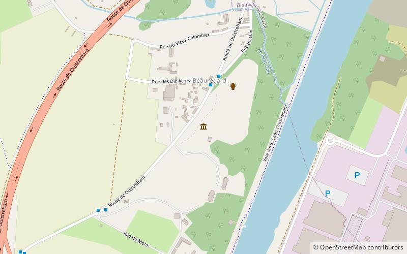
Ornavik is an experimental archaeology site located in the wooded area of the Château de Beauregard in Hérouville-Saint-Clair and open to the public since May 28, 2011. The development work is scheduled to last until 2021. The approach is directly inspired by the Guédelon site, in the Yonne. The project consists of presenting the history of present-day Normandy from 911, the date of Rollon's settlement, to 1066, the year of the conquest of England by William the Conqueror.
Elevation: 52 ft a.s.l.Coordinates: 49°12'57"N, 0°18'47"W
Day trips
Ornavik – popular in the area (distance from the attraction)
Nearby attractions include: Hérouville-Saint-Clair, St. Clair Church, Sanctuaire Saint-Serge, Port of Caen.
Frequently Asked Questions (FAQ)
How to get to Ornavik by public transport?
The nearest stations to Ornavik:
Bus
Tram
Bus
- Ornavik • Lines: 10 (3 min walk)
- Beauregard • Lines: 10 (7 min walk)
Tram
- Hérouville Saint-Clair • Lines: T1 (29 min walk)
- Café des Images • Lines: T1 (33 min walk)


