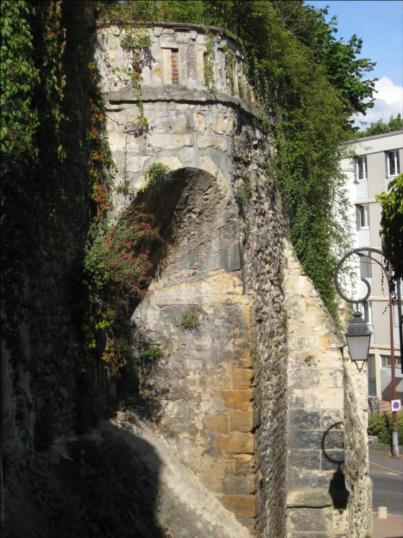
Remparts, Nevers

Gallery (2)
Map
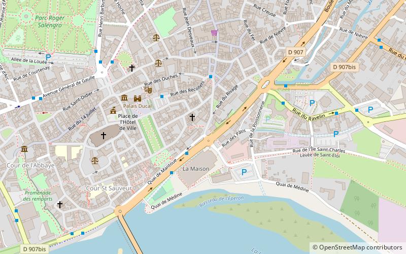
Map
Gallery
Facts and practical information
The Remparts are a testimony to the old city walls, located in Nevers, France.
Address : rue de la Fontaine
Coordinates: 46°59'15"N, 3°9'41"E
Address
Rue de la FontaineNevers
ContactAdd
Social media
Add
Getting there by public transportation
Public transportation stops near this location
- Bus
- Train
 Bus
Bus
- Calculate routeMaison de la Culture 3 min walk
- Calculate routePont Cizeau 5 min walk
- Calculate routeCarnot 7 min walk
- Calculate routeChamp de Foire 7 min walk
- Calculate routeNevers 13 min walk
Day trips


Frequently Asked Questions (FAQ)
Which popular attractions are close to Remparts?
Nearby attractions include Palais ducal de Nevers, Nevers (5 min walk), Chapelle Sainte-Marie, Nevers (5 min walk), Nevers Cathedral, Nevers (6 min walk), Saint Stephen's Church, Nevers (9 min walk).
How to get to Remparts by public transport?
The nearest stations to Remparts:
Bus
Train
Bus
- Maison de la Culture • Lines: T2 (3 min walk)
- Pont Cizeau • Lines: T2 (5 min walk)
Train
- Nevers (13 min walk)