Crêt de la Neige

Gallery (2)
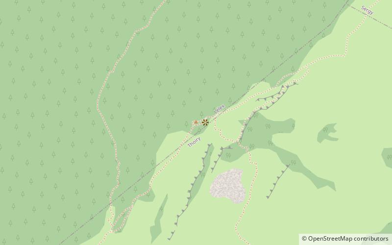
Map
Map
Gallery
Facts and practical information
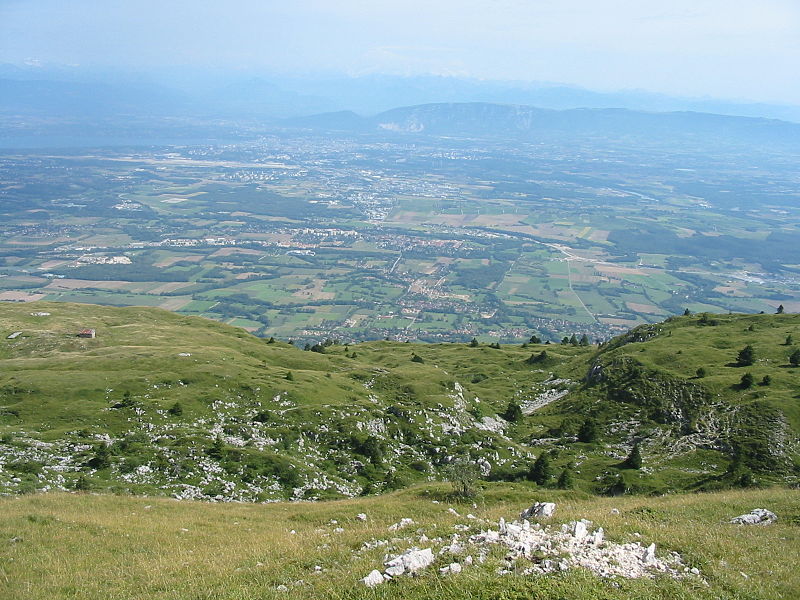
Le Crêt de la Neige is the highest peak in the Jura Mountains and the department of Ain in France. Its elevation is 1720 m above sea level. Its prominence is 1260 m. It is located in the commune of Thoiry. ()
Location
Auvergne-Rhône-Alpes
ContactAdd
Social media
Add
Day trips


