Chapelle Sainte-Paix, Caen
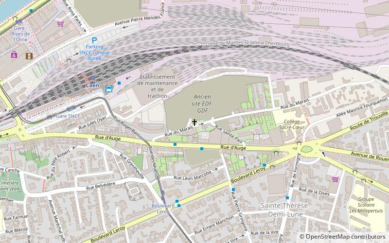
Map

Map

Facts and practical information
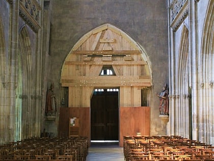
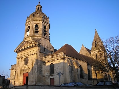
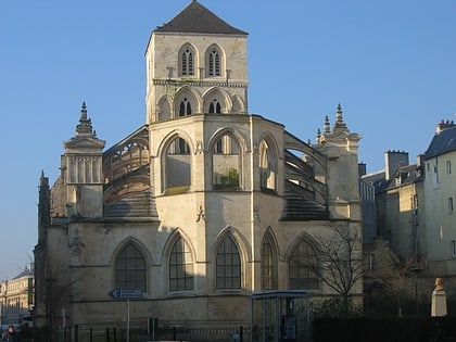
The Sainte-Paix chapel is a place of worship built in the 11th century on the territory of Mondeville, which was incorporated into Caen in the 18th century. It has been classified as a historical monument since June 3, 1975.
Architectural style: Romanesque architectureCoordinates: 49°10'32"N, 0°20'35"W
Address
Sainte-Thérèse - Demi-lune (Le Marais)Caen
ContactAdd
Social media
Add
Day trips
Chapelle Sainte-Paix – popular in the area (distance from the attraction)
Nearby attractions include: Church of Saint-Pierre, Musée des Beaux-Arts de Caen, Château de Caen, Church of Saint-Étienne-le-Vieux.
Frequently Asked Questions (FAQ)
Which popular attractions are close to Chapelle Sainte-Paix?
Nearby attractions include Église Saint-Michel-de-Vaucelles, Caen (16 min walk), Saint-Jean church, Caen (21 min walk), Abbaye aux Dames, Caen (23 min walk).
How to get to Chapelle Sainte-Paix by public transport?
The nearest stations to Chapelle Sainte-Paix:
Bus
Tram
Train
Bus
- Rue d'Auge • Lines: 1, 10, 11, 31, 6A, 6B (2 min walk)
- Pierre Gringoire • Lines: 10 (4 min walk)
Tram
- Boulevard Leroy • Lines: T1, T3 (5 min walk)
- Gare SNCF • Lines: T1, T3 (7 min walk)
Train
- Caen (6 min walk)


