Géoscope

Gallery (1)
Map
Map
Facts and practical information
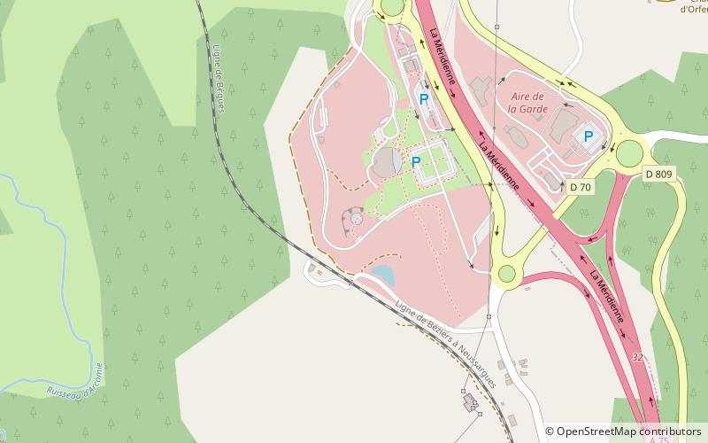
The Geoscope is a monumental display of rocks at the La Lozère motorway service at junction 32 of the A75 autoroute at Albaret-Sainte-Marie in the department of Lozère, France. It is sometimes described as a geological museum. 45 stones, each weighing many tonnes and accompanied by an interpretive panel are artistically arranged in a circle in an old quarry. ()
Coordinates: 44°52'9"N, 3°14'50"E
Location
Occitanie
ContactAdd
Social media
Add
Day trips


