Lorient Agglomération, Lorient
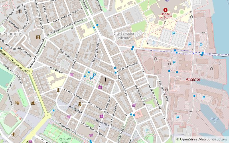
Map
Facts and practical information
Communauté d'agglomération Lorient Agglomération is the communauté d'agglomération, an intercommunal structure, centred on the city of Lorient. It is located in the Morbihan department, in the Brittany region, northwestern France. It was created in January 2014. Its area is 738.7 km2. Its area is 666.7 km2. Its population was 204,107 in 2018, of which 57,084 in Lorient proper. ()
Address
Lorient
ContactAdd
Social media
Add
Getting there by public transportation
Public transportation stops near this location
- Bus
- Ferry
 Bus
Bus
- Calculate routeMaréchal Foch 1 min walk
- Calculate routeAlsace - Lorraine 3 min walk
- Calculate routePorte Colbert 3 min walk
- Calculate routePorte Colbert DCN 3 min walk
- Calculate routeLorient Quai des Indes 12 min walk
- Calculate routeLocmiquélic Pen Mané 31 min walk
Day trips


Frequently Asked Questions (FAQ)
Which popular attractions are close to Lorient Agglomération?
Nearby attractions include Notre-Dame-de-Victoire, Lorient (2 min walk), Polig Montjarret, Lorient (6 min walk), Stade du Moustoir, Lorient (12 min walk), Chapelle Saint-Christophe, Lorient (19 min walk).
How to get to Lorient Agglomération by public transport?
The nearest stations to Lorient Agglomération:
Bus
Ferry
Bus
- Maréchal Foch • Lines: 112, 12 (1 min walk)
- Alsace - Lorraine • Lines: 10, 11, 13, 131, 133, 41E, 42E, T1a, T1b, T2, T3, T4 (3 min walk)
Ferry
- Lorient Quai des Indes • Lines: B1, B5 (12 min walk)
- Locmiquélic Pen Mané • Lines: B1, B5 (31 min walk)