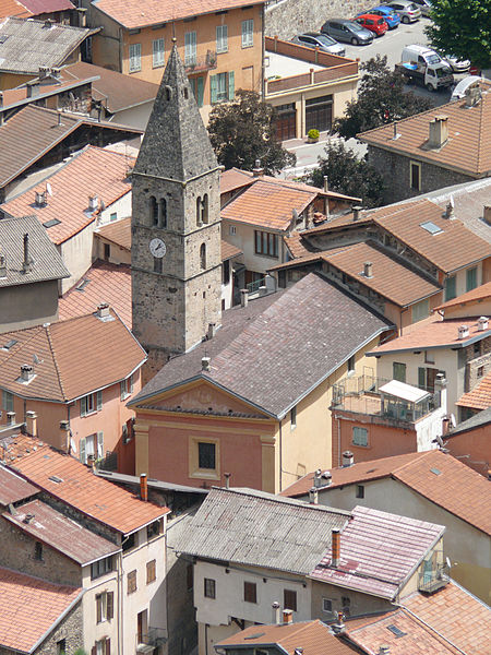
St. Michael's Church

Gallery (2)
Map
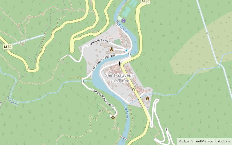
Map
Gallery
Facts and practical information
The church of Saint-Michel-Archange, or church of Saints-Sauveur and Michel, is a church in Saint-Sauveur-sur-Tinée in the Alpes-Maritimes. The building is registered as a historical monument on December 12, 1939.
Coordinates: 44°5'1"N, 7°6'16"E
Location
Provence-Alpes-Côte d'Azur
ContactAdd
Social media
Add
Day trips


