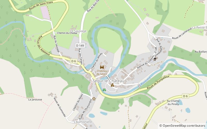
Château de Ségur, Ségur-le-Château
Map

Map

Facts and practical information
The castle of Segur is an ancient fortified castle, from the 13th century, built on an older building, whose remains stand on the French commune of Segur-le-Chateau in the Corrèze department in the Nouvelle-Aquitaine region.
The castle is fully protected as a historical monument.
Coordinates: 45°25'48"N, 1°18'17"E
Address
Ségur-le-Château
ContactAdd
Social media
Add
Day trips
Château de Ségur – popular in the area (distance from the attraction)
Nearby attractions include: Château de Pompadour, St. Saturnin Church, St. Julian's Church, Saint Stephen's Church.


