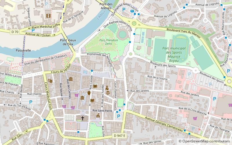
Enceinte gallo-romaine, Dax
Map

Map

Facts and practical information
The Gallo-Roman enclosure of Dax is a fortification that protected the city of Dax during the Late Roman Empire.
It is 1,465 meters long and encloses an area of 12.60 hectares. Its preserved remains, portions of the curtain wall and towers on the northern and eastern sides of the enclosure, were classified as historical monuments by decree in 1889.
Coordinates: 43°42'39"N, 1°3'2"W
Address
Dax
ContactAdd
Social media
Add
Day trips
Enceinte gallo-romaine – popular in the area (distance from the attraction)
Nearby attractions include: Dax Cathedral, St. Paul's Church, Église Saint-Vincent-de-Xaintes, César Palace Casino Bowling.
Frequently Asked Questions (FAQ)
Which popular attractions are close to Enceinte gallo-romaine?
Nearby attractions include Dax Cathedral, Dax (6 min walk), Église Saint-Vincent-de-Xaintes, Dax (15 min walk), St. Paul's Church, Saint-Paul-lès-Dax (21 min walk), War Memorial, Saint-Paul-lès-Dax (22 min walk).


